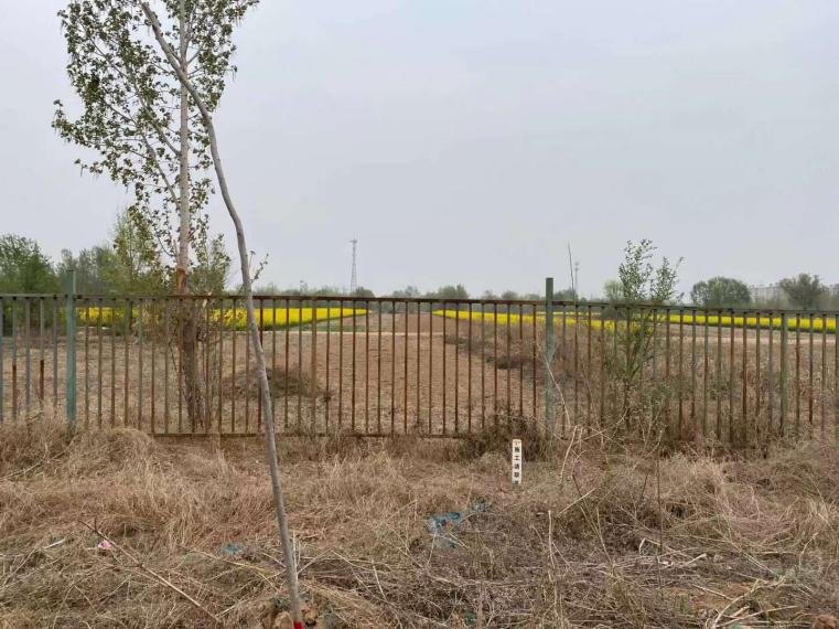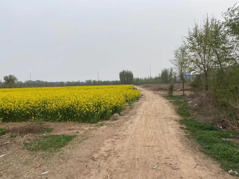
Fuyang Industrial Park in Pingxiang county plans to take the chemical industry as the leading industry and the food processing industry as the auxiliary industry. The industrial area is currently using groundwater and recycled water as the main source of water supply. Industrial wastewater is treated and reused and not discharged. According to the site survey, the main buildings of the existing enterprises are office rooms, main workshops and storage rooms, which are mainly brick and steel structures, with independent foundation, box foundation or strip foundation. The highest office building is 4-floor, and the foundation depth is about 1~2m; the main workshop and storage building are 1-floor, and the foundation depth is about 0.5~1m.
Hebei Pingxiang High-tech Industrial Development Zone is a green and ecological development zone with bicycle and stroller R&D and manufacturing as the leading industries. The land structure of the development zone is mainly productive land such as industrial land and development reserve land, and other types of land are used to serve industrial production, and each land structure is construction land. The main buildings of the enterprises to be located in the development zone are office facilities and workshops. The proposed building height of the office facilities is up to 4 floors, with reinforced concrete frame structure and strip foundation; the production workshops are mainly steel structure and independent foundation. The burial depth of the building foundation is about 1~1.5m.
The industrial concentration zone of Pingxiang county mainly develops a comprehensive industrial concentration zone dominated by bicycle industry, electronics and equipment manufacturing. The land in the park is mainly divided into first-class industrial land, second-class industrial land, commercial service facility land, second-class residential land, and park green space. According to the site survey, the buildings of the enterprises in the park are mainly office buildings and main workshops. The highest office building is a 4-floor building with reinforced concrete frame structure and strip foundation; the main workshop is generally a steel structure with independent foundation. The burial depth of the building foundation is about 1~1.5m.
The land of Jiegu paper products Industrial Park in Pingxiang county is mainly divided into class I industrial land, commercial service facilities land, public facilities land, greening land, education land, etc. The water used by the existing enterprises in the park mainly comes from groundwater, which will be replaced by water from the South-to-North Water Diversion in the future. According to the site investigation, the main buildings of the existing enterprises are office rooms and main workshops. The office building is 1~2 floor(s) high, mainly brick structure and steel structure, the foundation structure is independent foundation, box foundation or strip foundation, the foundation burial depth is about 1~2m. The main plant is 1-floor, and the foundation burial depth is about 0.5~1m.

Hazard assessment work for all four projects started on March 10, 2021, and the first draft was completed on April 20, 2021.
The assessment work was closely related to the characteristics of engineering construction, based on the full collection and analysis of existing regional geology, hydrogeology, engineering geology, environmental geology and disaster geology in the assessment area, and through comprehensive field investigation, in order to initially identify the geological environmental conditions and types of geological hazards in the assessment area, their distribution, change trends and their relationship with engineering construction.
During the field survey, 1/10,000 topographic map and 1/50,000 geological map were used to investigate. The key geomorphic, geological and disaster boundaries were investigated, tracked and photographed. GPS locator was used to locate the survey points, and MAPGIS, AutoCAD, Photoshop and other software were used for digital mapping, and finally a text report was prepared.